Taking a quick break from the Malawi 2008 trip stories, I want to share a few new maps I’ve found. I have several boxes of printed maps, so it’s not surprising that I collect digital images of them also. Here are my current African favorites.
First of all, find Malawi. It’s yellow, small, and in the south-east. Most prominently you can find the capital, Lilongwe, where we’ll live.
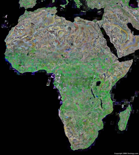
This map, highlighting the geology and terraine of the continent, reminds me that Malawi is not predominantly sand.
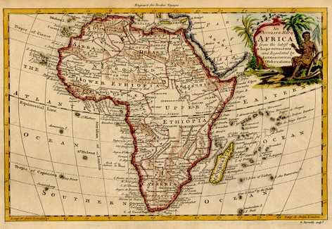
The caption is hard to read this small, but this is Africa in 1771. I didn’t realize that Upper and Lower Ethiopia covered so much territory then!
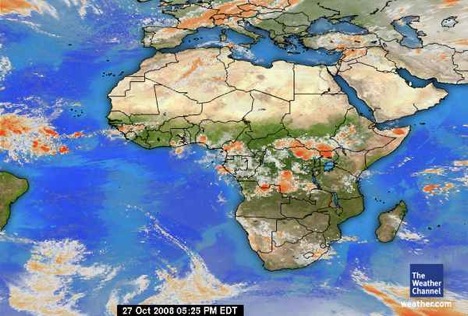
This map is dedicated to my dad, who really should have been a weatherman.

This is the map that started the African collection. Matt told me that he’d see a map of Africa at night and that it was fascinating. He found it again on a NASA website for me, and I’m truly fascinated! There is actually a dot of light representing Lilongwe, so this must have been taken when the electricity was working!